


The "father of GPS" Bradford Parkinson don't like to use his brainchild
 Source:
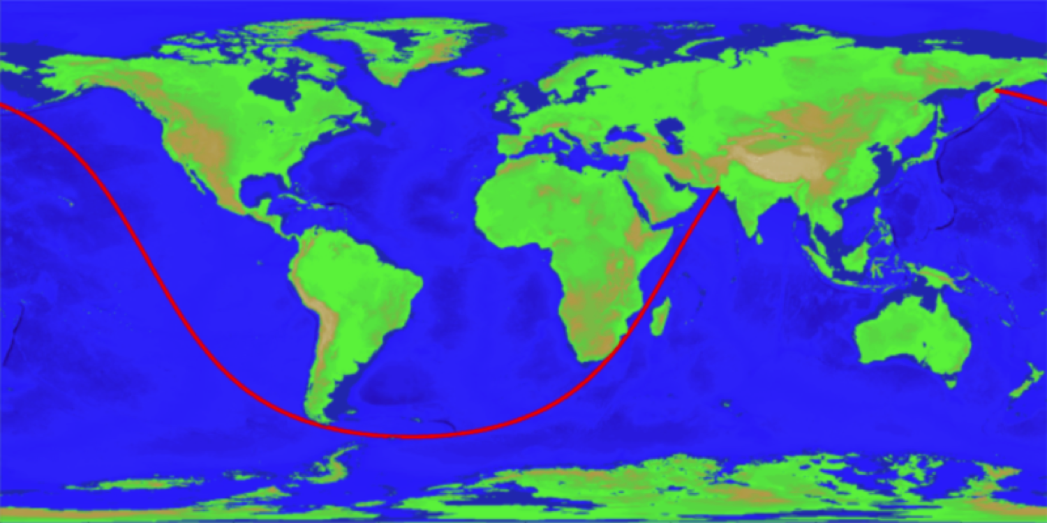
When about 40 years ago Bradford Parkinson and his team of engineers prepared the first specification for a GPS system, he made several sketches, which depicted the expected use of this technology in the future. On one of the sketches created on a plain piece of paper, Parkinson in 1978 introduced as the GPS can be used as car navigation systems. On the other, the inventor has considered using this system in agriculture. Such concepts were few. However, one variant, the inventor did not foresee. And now various companies around the world use the system for silent surveillance of hundreds of millions of people through their smartphones.
"I shouldn't like it. We are not talking about the legality or illegality of such use, I just don't like the idea of permanent control over anyone" — said Parkinson in an interview with Forbes after receiving the award of Queen Elizabeth II in engineering as one of the founders of GPS.
Many companies around the world use the GPS system for quiet track our location. For example, in a recent journalistic investigation of the newspaper New York Times said that at least 75 companies, operating on the territory of anonymously collecting data on the exact location about 200 million users through mobile apps. It was also mentioned that some apps are able to track the location of people to within a few meters, several thousand times a day.
Bradford Parkinson was the leading engineer of the scientific group, which worked on the development of GPS in the late 70-ies
Held in January of this year, independent investigation by journalists of the portal Motherboard showed that to help track defendants surety companies even buy data about users from local mobile operators AT&T, T-Mobile Sprint.
One of the original sketches depicting the concept of the use of GPS, developed by Bradford Parkinson in 1978
In the late 70-ies of Parkinson played a very important role in the development and testing of a global positioning system that is now used everywhere, so it is often called the "father of GPS".
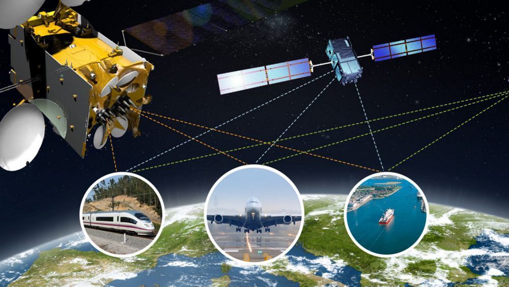
The System, developed in collaboration with three other engineers – James Spillerom, Hugo Fruhauf and Richard Schwartz — uses to get from 24 artificial satellites that are synchronized with ground monitoring stations and receivers. Monitoring stations are required for determination and control of orbit parameters, calculate ballistic characteristics, the adjustment of the deviations from trajectories of movement, and control equipment on the Bor spacecraft. The signal receiver measures the propagation delay from the satellite to the receiver. From the received signal, the receiver receives location data of the satellite. To determine the distance from the satellite to receiver signal delay is multiplied by the speed of light. To work GPS required data from at least 4 satellites. The signals allow to obtain the latitude and the longitude of the fourth satellite gives information about the height of the object above the surface. The resulting values can be reduced to a system of equations from which to find the coordinate of the user with accuracy up to 2 meters.
Of Course, GPS was originally developed as a military technology that opens the possibility of more accurately guide a ballistic missile to equip the aircraft a more precise navigation equipment and also get the exact coordinates on the ground of its troops and enemy troops for artillery fire adjustment. However, soon this system was used in the civilian sphere.
For example, the organizers held this month of the award of Queen Elizabeth II in engineering noted that GPS has simplified the mission for humanitarian support in various conflict zones, is an indispensable tool in the so-called , as well as just helping people get from point a to point B without the use of normal maps.
As it turned out, among other things, and are worried about the Bradford Parkinson. Speaking at the event, he noted that the global positioning system has become a victim of its own success. Firstly, people have forgotten how to use normal maps, and secondly, various malfunctions in the system can lead to catastrophic consequences.
According to Parkinson, the scope of the GPS for the past almost 50 years has expanded to incredible proportions, and sometimes the ways of its operation was surprising even its creators. In addition to navigation assistance for cars and trucks, aircraft and ships, this system is also used in the financial sector that is of concern to the Professor.
"You can buy little gadgets, so-called devices, providing the secrecy, which not only give your boss to track you when he decided to see his sweetheart, but block all other GPS systems," said Parkinson.
With concern the Parkinson's appeared to agree John brown, former CEO of BP and one of the chairmen of the commissions of the award of Queen Elizabeth II in the field of engineering, who stated that the development of the most important technological solutions throughout history was always accompanied by unpredictableconsequences.
"One of those consequences in this case is the threat of personal life" — commented brown Forbes.
Parkinson, in turn, understands and even to some extent agree with why companies try to justify the use of positioning technologies people — so it will be easier to give people "more relevant" advertising. But the developer of the system, do not agree with what the people themselves of this usually do not ask.
"You must first obtain my permission for this," — complains one of the founders of GPS.
"In 1978 I created about eight concepts of my vision of using this system. For example, in one of them it was about technology that could be applied in the [driverless] cars. There were a number of ideas, which I could clearly imagine. Unfortunately, later there were also a lot of concepts that I imagine just couldn't".
Discuss this article in our .
Recommended
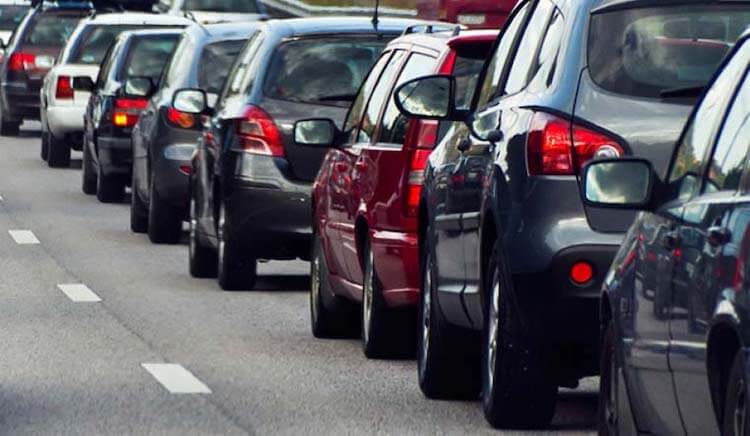
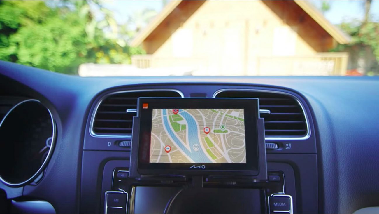
One of the most frustrating paintings for the city dweller. Many people just can't get in the car and run the Navigator to see how and how much will have to go. I — the man who still found the time when a car was necessary to go with the map. I...
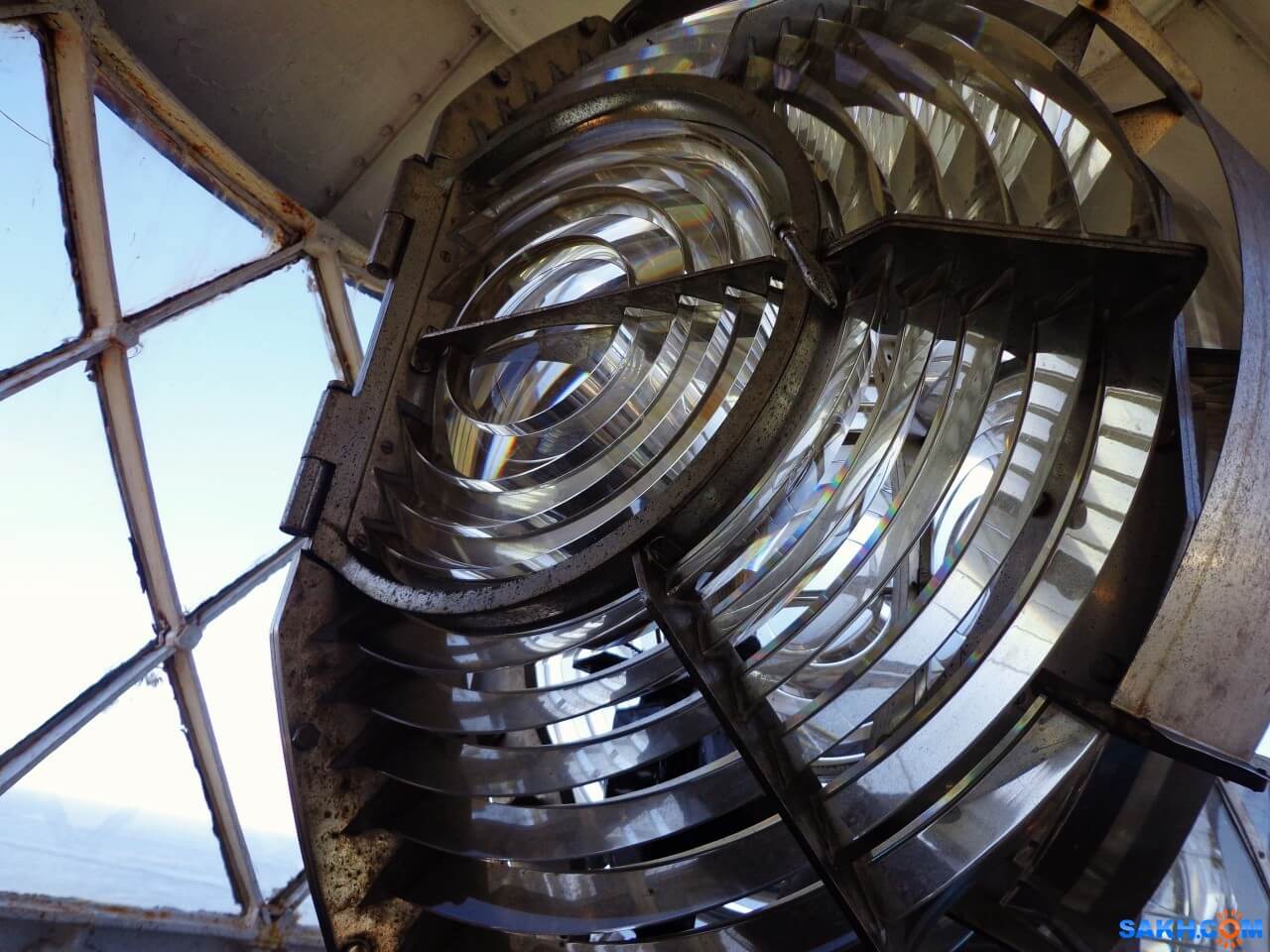
How does the lighthouse and why is it needed in our time
what do you think of when you hear the word “lighthouse”? Someone will imagine a GPS-tracker, someone — spy tracker, someone — the flashing light on a police car, and someone — just a radio beacon. But, most likely, most people will...

How much can float a message in a bottle if to throw it into the ocean?
Imagine that you were on a desert island. Perhaps you have even a bottle of rum that you managed to safely drink. Suddenly you find a piece of paper, a pen and decide to do the last thing in your power. You write a letter of request, put it in an emp...
Related News
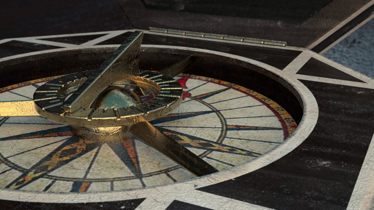
The quantum compass will help to determine the location without GPS
In today's world almost anywhere without the means for orientation in space. We use navigators, and special programs driving the car, the maps looking for the desired object and determine its location, and when traveling to anothe...
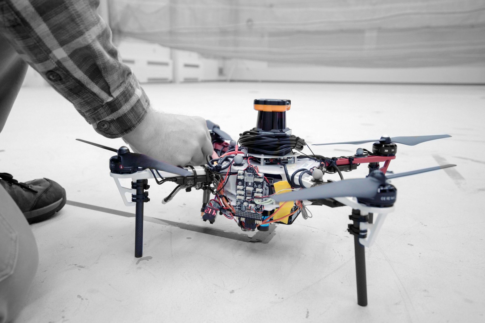
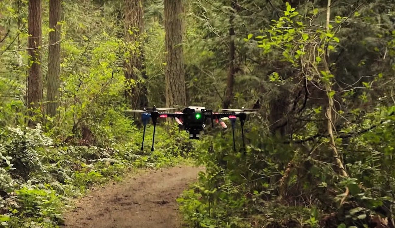
Drones to find lost people in the woods, quickly and without GPS
Drones can be highly effective search-and-rescue tool, but not in dense forests, where tree cover can block the GPS signals. Fortunately, MIT has developed a clever solution: use the same technology that drives Autonomous vehicles...
How to look like the long straight, on which one can cross the ocean and land
In 2012, a Reddit user Patrick Anderson has published a map on which was shown the longest video that I can follow the ocean and not see land. He has provided no evidence that his data is correct, and a couple of researchers decid...

Zipline launched the world's fastest drone for commercial delivery
a Few years ago Zipline has created a national delivery system through drones for the delivery of blood and medicines in remote health centres in Rwanda. Now the company introduced the world's fastest drone for commercial delivery...
Fitness app revealed the secret locations of US military bases
Many fitness trackers and fitness apps allow you to track your results and find the most optimal routes for Jogging and walking in your city. But sometimes these programs can pose a threat to national security. That's exactly what...

A private Chinese company will release a dedcation drone
a Young but ambitious Chinese company Tengoen Technology, founded in 2016, is planning a huge drone with a payload of twenty tons. The company already produces drones for military purposes, plans to use private development to impl...
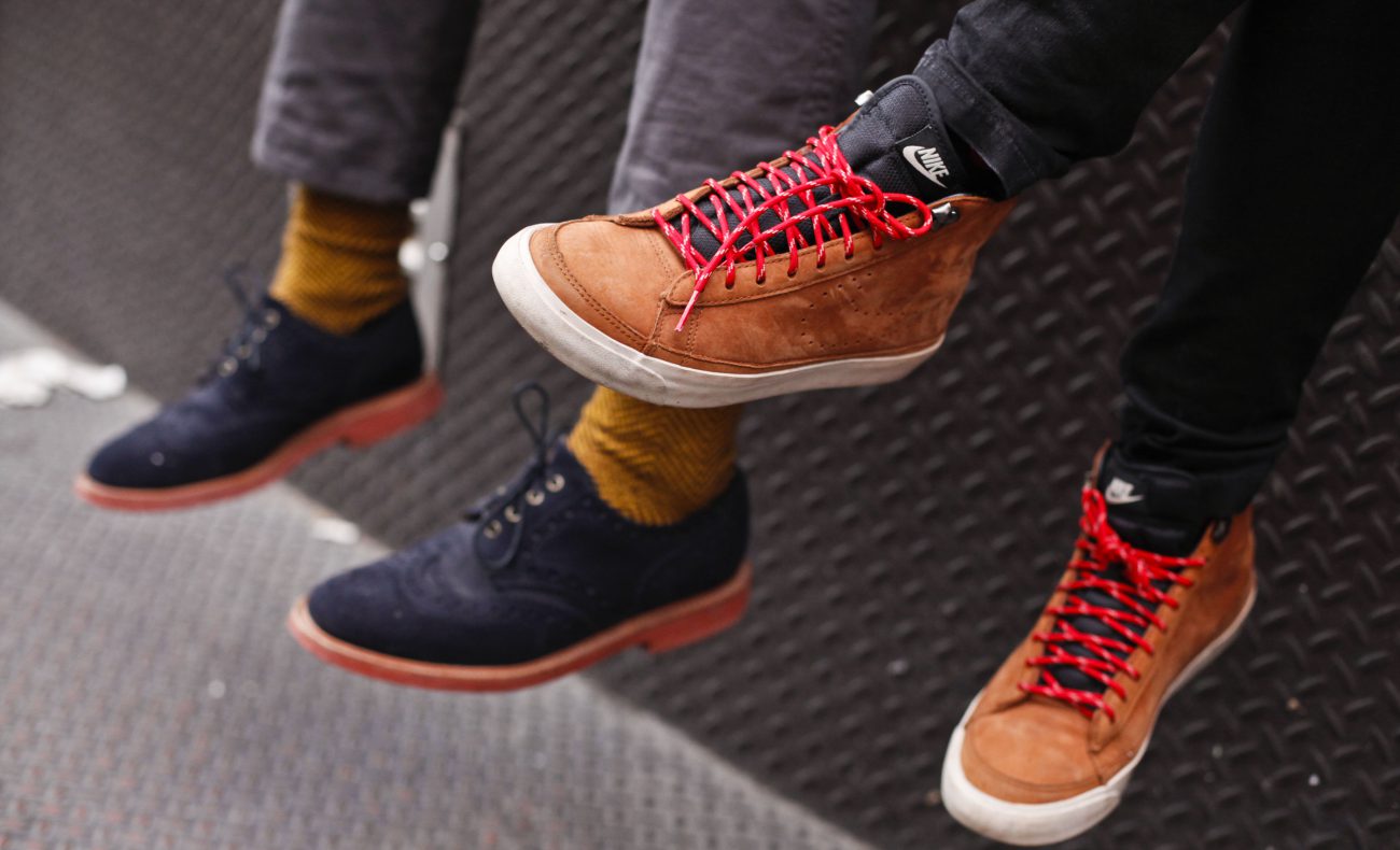
Shoes with GPS that don't need satellites
a Modern navigation system based on the orientation of the instruments in space by using information received from GPS or GLONASS satellites. One of the problems with such devices is that they can work not always and strongly depe...
In China experienced a first-strike by a drone of its own production
Chinese engineers worked on a new reconnaissance and strike unmanned aerial vehicle for several years. Now he is ready and will soon be launched into serial production. In the meantime, he is tested and has recently completed the ...
In China fell on the first water rescue boat-the drone
the First self-propelled rescue boat capable of unassisted walking by rivers, lakes and seas, launched in the province of Anhui — there he will patrol large pond, which is popular among tourists and local residents a place o...
NVIDIA has taught the drone to navigate in space without the use of GPS
As you know, GPS systems are among the most common and accurate source of coordinates. They are used everywhere, including in unmanned aerial vehicles. But still there are areas where satellite navigation systems are not working, ...
Test of unmanned airliner from Boeing will begin next year
Airplanes are able to fly well almost without human help along the route, pilots are only required occasionally to adjust course and altitude, everything else is autopilot makes himself. But Boeing is going to create technology th...
China launched its own navigation system
the Portal CGTN reports that China's largest national system of satellite navigation and positioning started its work on Saturday, may 27. Deputy Director General of the National Agency of cartography and geoinformation of China...

Rostec presented a complex pedestrian navigation for the world Cup 2018
In the development of a Federal program «Safe city» and preparation and holding in Russia of world football championship in 2018, the holding company «Schwabe», part of state Corporation «rostec», has...
Comments (0)
This article has no comment, be the first!