


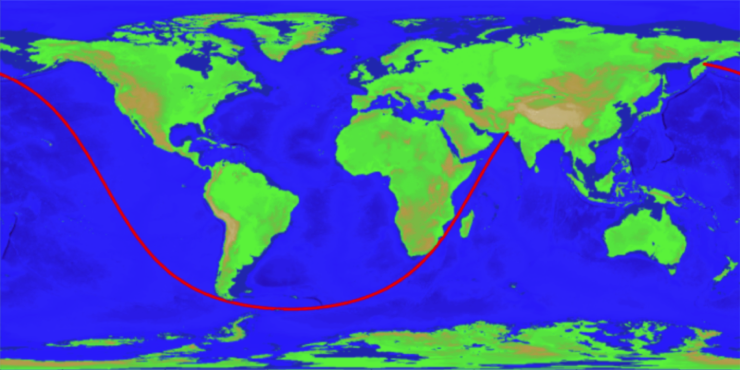
How to look like the long straight, on which one can cross the ocean and land
 Source:
In 2012, a Reddit user Patrick Anderson has published a map on which was shown the longest video that I can follow the ocean and not see land. He has provided no evidence that his data is correct, and a couple of researchers decided to develop an algorithm that would find the longest line, not only on water but on land.
Rohan Chabukswar from the Research center of United Technologies Ireland and Kushal Mukherjee of IBM Research India has created an algorithm that was to confirm that the route from Pakistan to Siberia really is the longest straight line in which may accompany the seafarer. On a two-dimensional map, the route doesn't look like video, but do not forget that the Earth is .
Calculate the route was not the easiest task. The researchers got a card with a high enough resolution NOAA. They had to check 5 038 848 000 000 points possible. This 5 trillion 38 billion 848 million points. Have Chabukswar and Mukherjee did not have sufficient computing power for calculations, and for this reason, scientists have used branching algorithms for solving optimization problems. This approach reduces the time of solving the problem, breaking it down into smaller parts and subsets.
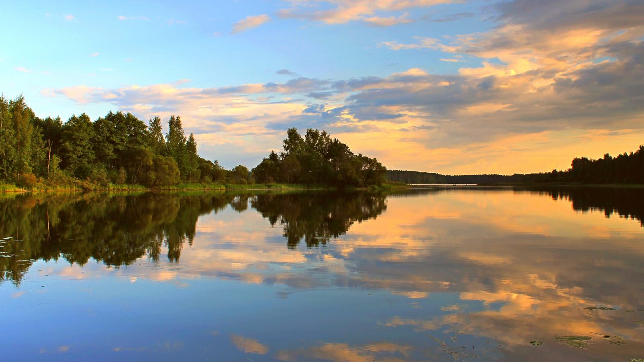
With this incredible technology, scientists have made calculations on ordinary personal computer for 10 minutes. Surprisingly, the result was the same that was published by Reddit user in 2012. The length of this route is 32 089,7 kilometers.
In the same way Chabukswar and Mukherjee decided to find the longest line that can go on land without colliding with large bodies of water. The length of the straight was 11 241 kilometers. This video runs from China through Mongolia, Kazakhstan, Russia, Poland, Czech Republic, Germany, Austria, Liechtenstein, Switzerland, France, Spain and ends in Portugal.
It is Worth noting that the route from China to Portugal might not be the most optimal, as the calculations do not take into account mountains and rivers. The same can be said about the route through the ocean.
Recommended
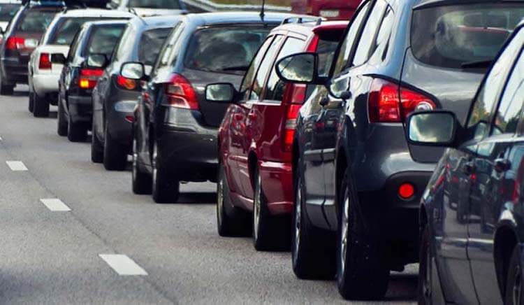
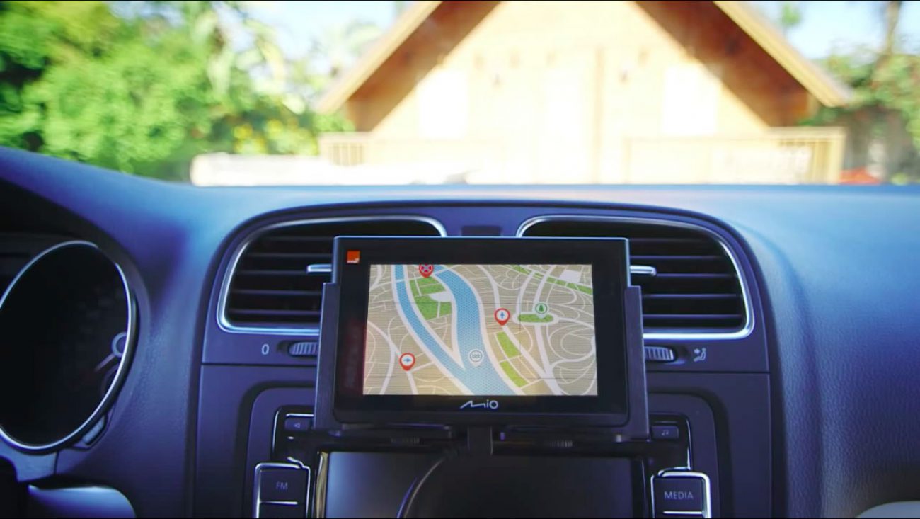
One of the most frustrating paintings for the city dweller. Many people just can't get in the car and run the Navigator to see how and how much will have to go. I — the man who still found the time when a car was necessary to go with the map. I...
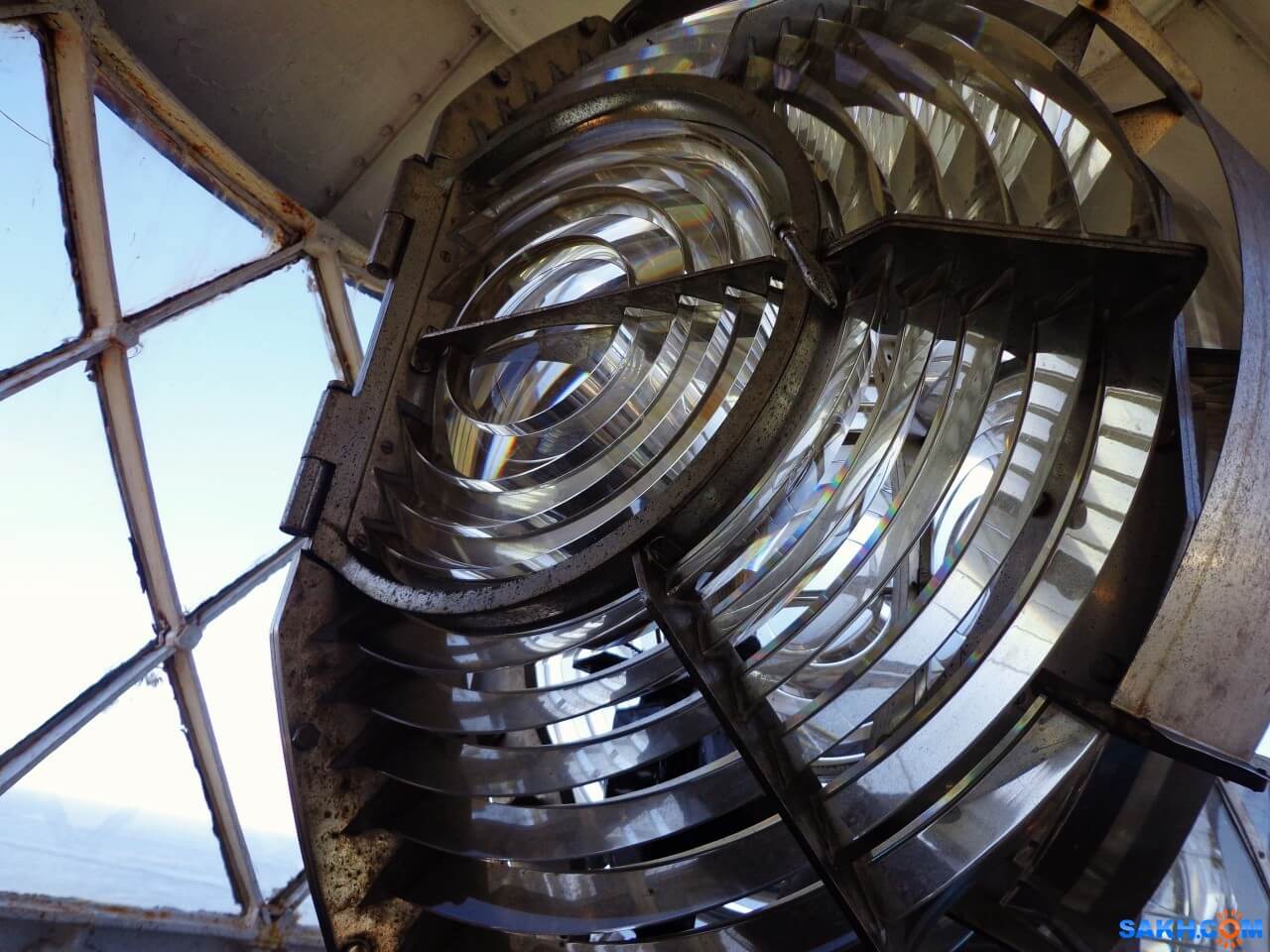
How does the lighthouse and why is it needed in our time
what do you think of when you hear the word “lighthouse”? Someone will imagine a GPS-tracker, someone — spy tracker, someone — the flashing light on a police car, and someone — just a radio beacon. But, most likely, most people will...
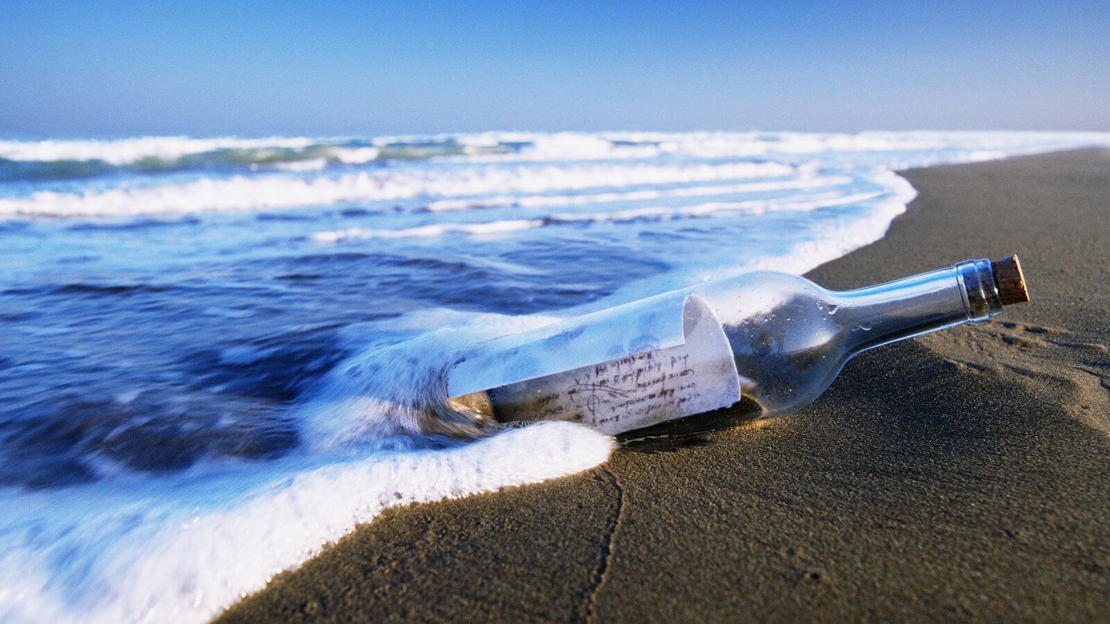
How much can float a message in a bottle if to throw it into the ocean?
Imagine that you were on a desert island. Perhaps you have even a bottle of rum that you managed to safely drink. Suddenly you find a piece of paper, a pen and decide to do the last thing in your power. You write a letter of request, put it in an emp...
Related News

Zipline launched the world's fastest drone for commercial delivery
a Few years ago Zipline has created a national delivery system through drones for the delivery of blood and medicines in remote health centres in Rwanda. Now the company introduced the world's fastest drone for commercial delivery...
Fitness app revealed the secret locations of US military bases
Many fitness trackers and fitness apps allow you to track your results and find the most optimal routes for Jogging and walking in your city. But sometimes these programs can pose a threat to national security. That's exactly what...

A private Chinese company will release a dedcation drone
a Young but ambitious Chinese company Tengoen Technology, founded in 2016, is planning a huge drone with a payload of twenty tons. The company already produces drones for military purposes, plans to use private development to impl...

Shoes with GPS that don't need satellites
a Modern navigation system based on the orientation of the instruments in space by using information received from GPS or GLONASS satellites. One of the problems with such devices is that they can work not always and strongly depe...
In China experienced a first-strike by a drone of its own production
Chinese engineers worked on a new reconnaissance and strike unmanned aerial vehicle for several years. Now he is ready and will soon be launched into serial production. In the meantime, he is tested and has recently completed the ...
In China fell on the first water rescue boat-the drone
the First self-propelled rescue boat capable of unassisted walking by rivers, lakes and seas, launched in the province of Anhui — there he will patrol large pond, which is popular among tourists and local residents a place o...
NVIDIA has taught the drone to navigate in space without the use of GPS
As you know, GPS systems are among the most common and accurate source of coordinates. They are used everywhere, including in unmanned aerial vehicles. But still there are areas where satellite navigation systems are not working, ...
Test of unmanned airliner from Boeing will begin next year
Airplanes are able to fly well almost without human help along the route, pilots are only required occasionally to adjust course and altitude, everything else is autopilot makes himself. But Boeing is going to create technology th...
China launched its own navigation system
the Portal CGTN reports that China's largest national system of satellite navigation and positioning started its work on Saturday, may 27. Deputy Director General of the National Agency of cartography and geoinformation of China...

Rostec presented a complex pedestrian navigation for the world Cup 2018
In the development of a Federal program «Safe city» and preparation and holding in Russia of world football championship in 2018, the holding company «Schwabe», part of state Corporation «rostec», has...
Comments (0)
This article has no comment, be the first!